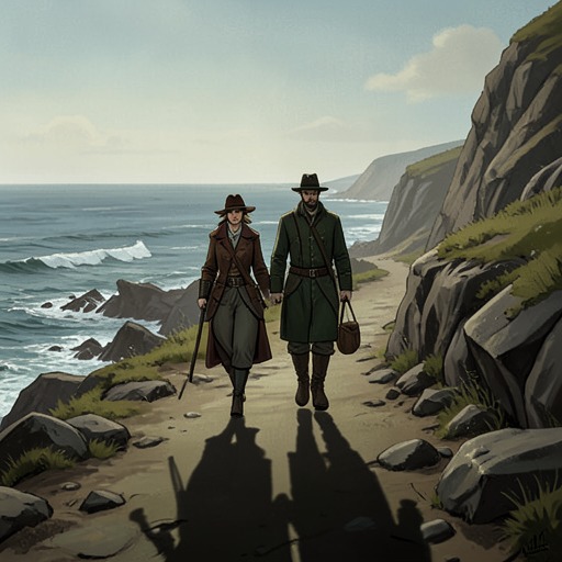
Hartland Point
The Salt PathHartland Point is a headland on the Devon coast whose folded sandstone cliffs expose a history of tectonic collision, while its demanding coastal path brings that deep time into contact with the immediate realities of fatigue, hunger, and weather. In Ray’s account, it is at once a geological spectacle and a place where the landscape resists easy reading: a radar installation becomes an impossible-looking object in the sky, and a celebrated stretch of coast becomes a measure of the walkers’ limited strength.
Geology and Landscape
At Hartland Point, the changing geology of the coast takes an especially distinctive form. The rocks began as sediment laid down in shallow seas around 320 million years ago, in layers of sand, shale, and mudstone. Around 290 million years ago, the southward-moving Gondwana plate collided with Laurasia, producing the Variscan orogeny. That upheaval raised mountains across what are now Portugal, western Spain, Cornwall, Devon, Wales, and Ireland.
The cliffs at Hartland Point reveal the force of that ancient collision in sandstone ribs and chevron-shaped folds. The formations are not described as inert remnants: their visible shapes make an immense geological movement feel present beneath the walkers’ feet. The headland thus compresses vast spans of time into a landscape encountered step by step, where the coast’s changing rocks become part of the experience of walking it.
The Walk and Its Demands
The South West Coast Path around this coast tests the difference between a route described on a page and a route covered by tired bodies. Paddy Dillon’s guidebook identifies the stretch as both highly scenic and among the toughest, but Ray’s wry account disputes the apparent ease with which its itinerary treats distance and exertion. It even jokes that the guidebook seems to mistake the seventeenth day of the journey for the ninth, while proposing a day of fifteen and a half miles and time to admire the waterfalls.
The scenery gives the route its appeal and its difficulty: open, treeless headlands, ragged rock formations shaped by water, and a coastline receding into a grey horizon. In rising heat and without shade, the walkers’ physical limits become inseparable from the view. Streams along the way offer a practical reprieve, allowing them to refill their water bottles, but the beauty of the headland does not make the miles easier.
Radar Station and Perception
A radar installation disrupts Ray’s first impression of the skyline. Seen from the path, it appears to be an enormous football balanced on a stick; the guidebook corrects this impression by identifying a radar station used for air traffic control. The moment sets an unfamiliar modern structure against cliffs whose shapes were formed over hundreds of millions of years. It also shows how the walkers encounter the coast: first through tired, fallible perception, then through explanation and closer attention.
Narrative Significance
Hartland Point matters in the narrative as a place where physical strain and close observation operate together. The walkers must contend with the length and difficulty of the path, yet their passage also yields an account of the region’s geological formation, from shallow-sea sediments to the collision that folded the cliffs. The headland is therefore more than scenery between destinations: its exposed terrain determines the effort of the journey, while its rock formations make the landscape itself a record of change.